Madeline's · Tinahely, Co. Wicklow

Walks from our front door

A simple, honest guide to the walks around Tinahely — what's easy, what's a proper hike, where to park, and whether the dog can come.

Before you head out

Today in Tinahely — check the light and the forecast first.

🌇 Sunset today

The sun drops behind the hills

🌙 Dark by

Too dark to walk without a torch

Tinahely forecast — next 3 days

Loading live forecast…

Live from Open-Meteo. Full Met Éireann forecast →

🌿 Easy & from the door

Gentle, well-surfaced and close by — the ones to point a guest to first.

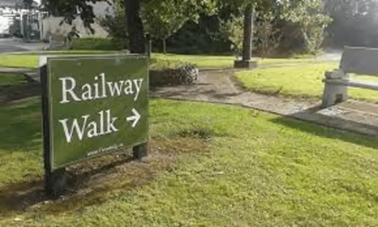
The Tinahely Railway Walk along the River Derry, Co. Wicklow

Railway WalkEasy

2.3 km each way (~4.6 km return)~1½ hr return

Terrain: Flat, surfaced old railway line beside the Derry River — buggy & wheelchair friendly.

Parking: Free — car park at both ends (village end & Tomnafinnoge end).

Dogs: 🐕 Welcome, on a lead.

From Madeline's: Straight from the village — start at the village-end car park.

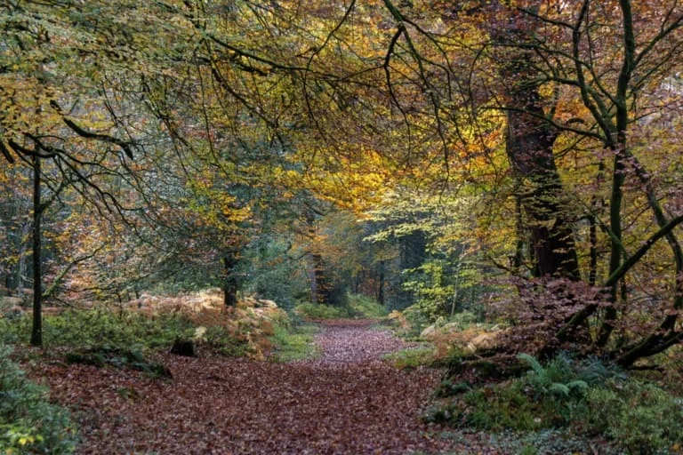
Ancient oak woodland at Tomnafinnoge, near Tinahely, Co. Wicklow

Tomnafinnoge Woodland WalkEasy

Woodland loops ~1.5–3.5 km1–1½ hr

Terrain: Forest tracks & boardwalk through ancient oak woodland. Pick your route at the gate — the loop climbs up through the woods; the river path is very buggy- & bike-friendly. Can be muddy after rain.

Parking: Free car park at the woods.

Dogs: 🐕 Welcome, on a lead near grazing.

From Madeline's: ~5 min drive, or walk there via the Railway Walk.

🎧 A free GPS audio tour of Tomnafinnoge is on the way via AudioToursIreland.ie.

⛰️ Big day-hikes — for experienced walkers

Proper mountain loops: half a day out, real climbs, boots and planning needed. Not a stroll — check the light before you set off.
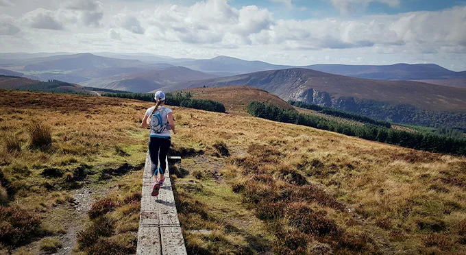
Mangan's Loop hillside above Tinahely, Co. Wicklow

Mangan's LoopStrenuous

~9 km2½–3 hrClimb ~300–360 m

Terrain: Country lane, grassy road & open hillside over Garryhoe Hill; one wet field.

Parking: Free — town square or the GAA grounds.

Dogs: 🚫 Not allowed — open grazing.

From Madeline's: Starts in the village.

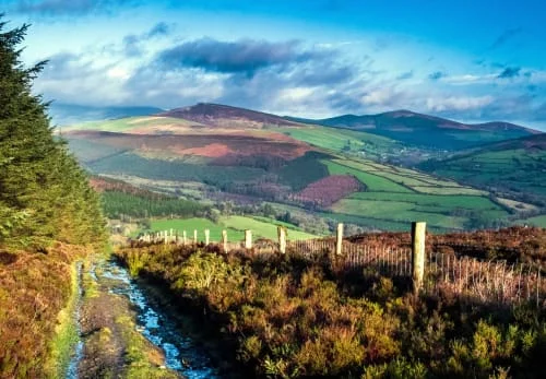
Ballycumber Loop, heather hillside near Tinahely, Co. Wicklow

Ballycumber LoopStrenuous

14 km4–5 hrClimb ~350–400 m

Terrain: Grass, forest trails, open heather mountainside & country lanes.

Parking: Free — town square.

Dogs: 🚫 Not allowed — open grazing.

From Madeline's: Starts at the town square.

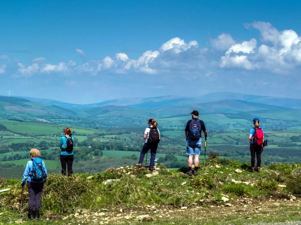
Kyle Loop, near Tinahely, Co. Wicklow

Kyle LoopStrenuous

20 km5–6 hrClimb 500 m · high point 420 m

Terrain: Forest trail, mountain trails & country lanes. For fit, experienced walkers.

Parking: Free — town square.

Dogs: Check locally — livestock & open hill; keep on a lead.

From Madeline's: Starts in the village — a full day out.

The Tinahely Loop, Muskeagh ridge above Tinahely, Co. Wicklow

The Tinahely LoopStrenuous

25 km5–6 hrExperienced walkers only

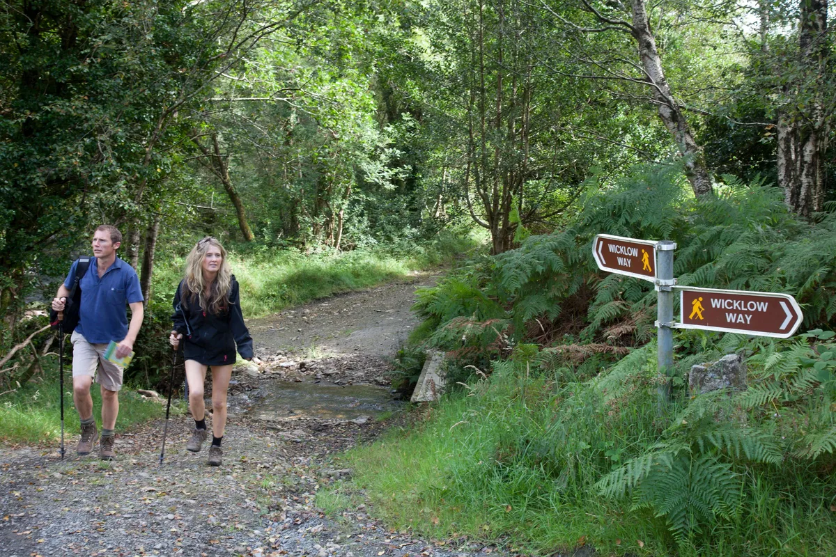
Terrain: The big one — links the Railway Walk, a stretch of the Wicklow Way and the Muskeagh ridge. This is the easiest way to sample the Wicklow Way from the village.

Parking: Free — town square or Railway Walk car park.

Dogs: Check locally — livestock & open hill; keep on a lead.

From Madeline's: Starts in the village — a full day out.

The Wicklow Way Good to know

Ireland's most famous long-distance trail runs close by — but it doesn't come through Tinahely village itself. The simplest way to walk a stretch of it from here is via the Tinahely Loop above, which follows a section of the Way. For the full end-to-end route, see the guide.

A few sensible words before you go

The best base in the village

Stay at Madeline's — walk from the doorstep

Madeline's Accommodation sits right on Dwyer Square. The Railway Walk trailhead is two minutes away, and you can be on the start of any of the five loops within ten minutes. Coded keypad entry — come and go on your own schedule.

Book your walking break →